Table of Contents
Online Help > Maps & Layers > How to export the displayed map as an image?
How to export the displayed map as an image?
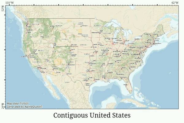
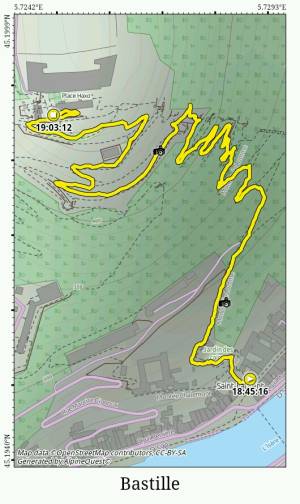
The application allows you to export any displayed map view as a JPEG image. When the map is exported, all control buttons are hidden.
Before exporting a map view, choose an orientation (portrait, landscape or any other custom rotation), adjust the view bounds and display any placemarks.
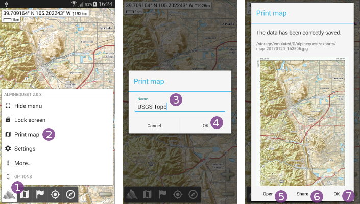
Then, to export the displayed map view:
- Click on the “
Main menu” icon and select “
Print map” ;
; - Optionally, type a name
 for the exported image and click on “
Ok” ;
; - Once saved, the exported image will be displayed. Click on “
Open” to display it in your favorite image viewer, on “
Share” to upload it online or to “
Ok” to close the displayed image.
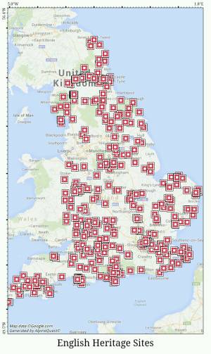
![]() For legal reasons, some maps (like Google Maps) cannot be exported.
For legal reasons, some maps (like Google Maps) cannot be exported.


